911 responders will now be able to reach emergencies on the Cowessess First Nation sooner.
Cowessess First Nation and Saskatchewan Polytechnic Geomatics and Surveying Engineering Technology faculty members have developed a procedure to map and update a geo-database of the roads and homes in the community.
The Saskatchewan Department of Highways will now use this procedure for emergency dispatches to the Cowessess First Nation.
“This mapping project provides vital geospatial information of the roads and homes of Cowessess First Nation in the form of digital maps,” said Dr. Larry Rosia, president and CEO of Saskatchewan Polytechnic in a statement. “These maps will be integrated into an existing database to provide emergency responders with critical information to respond to calls more efficiently and effectively on the Cowessess First Nation.”
The program was generated with the help of a Saskatchewan Polytechnic Seed Applied Research Project funding grant.
This mapping procedure was created by Sask. Polytech grad and instructor Abdul Raouf and Geomatics and Surveying Engineering Technology program head CJ Pelletier after consulting with Cowessess First Nation Chief Cadmus Delorme.
“Cowessess First Nation is now better prepared for future emergency situations,” said Chief Delorme. “There are jurisdictional differences with neighboring RM’s and municipalities but emergency responses are a shared service. Previously, seeking an emergency location was done with an outdated physical map, resulting in response time typically taking over an hour. These are life and death situations. With this initiative, people on Cowessess First Nation can be assured emergency responders will use the quickest route possible.”
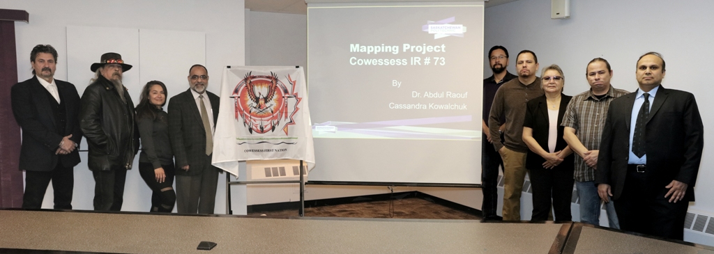
(PHOTO: Delegates gather. Photo courtesy Saskatchewan Polytechnic.)